Seeing Streets from Space

Most of the world has never been seen from the ground.

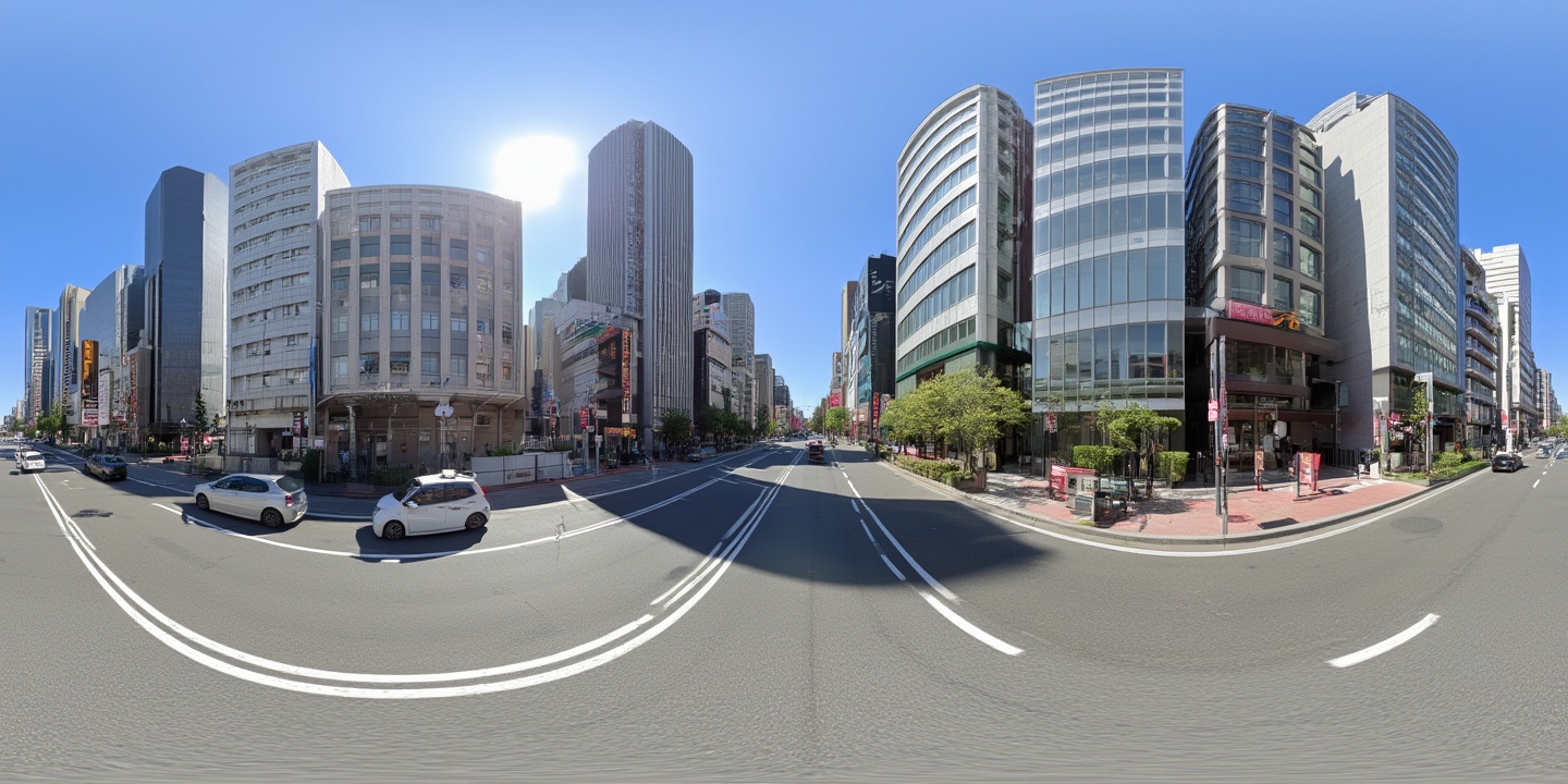
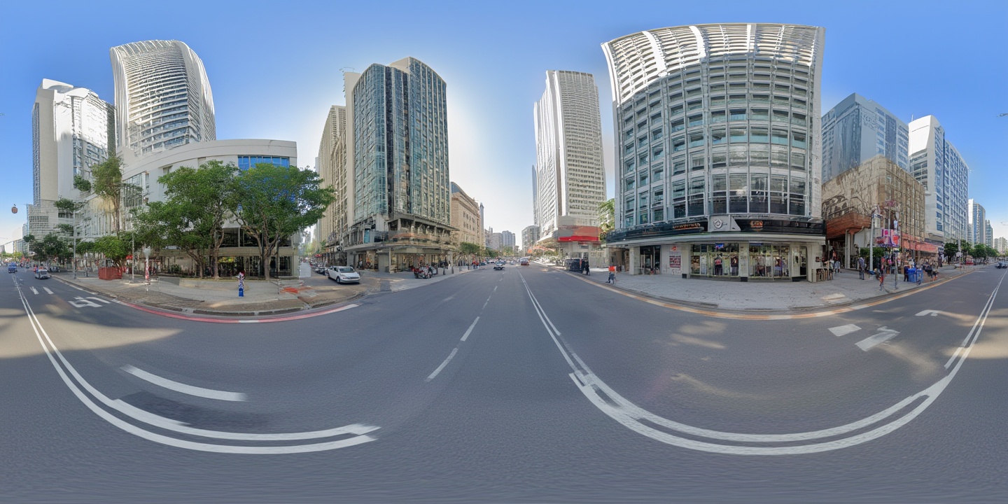
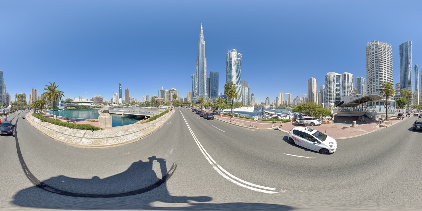
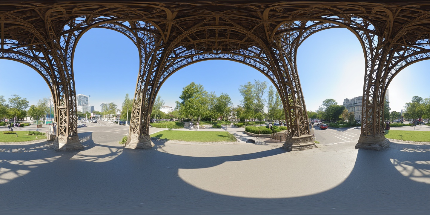
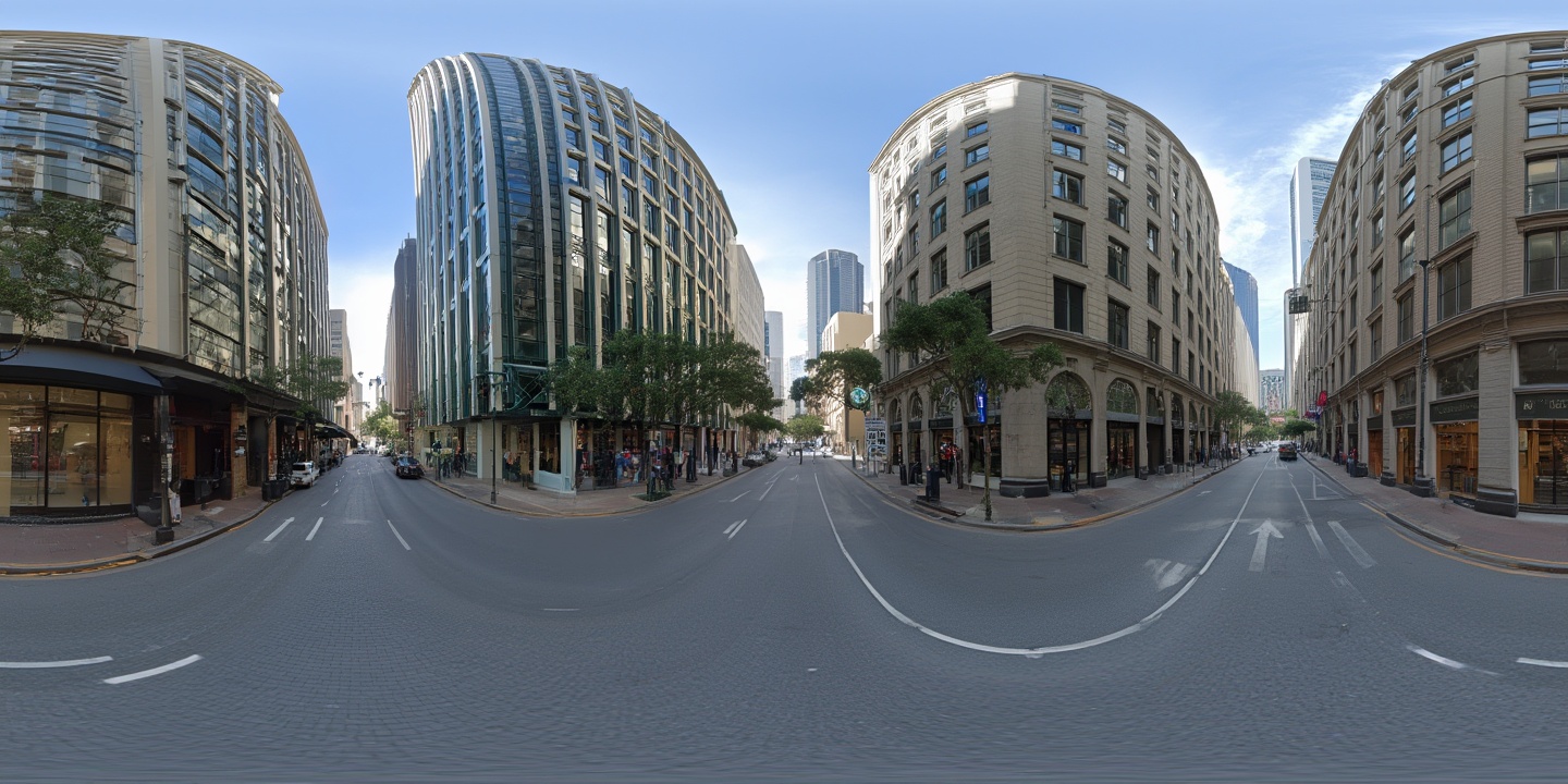
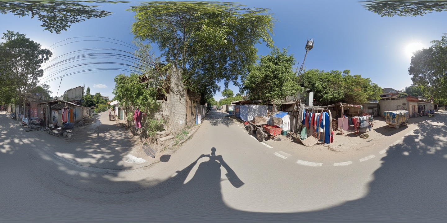
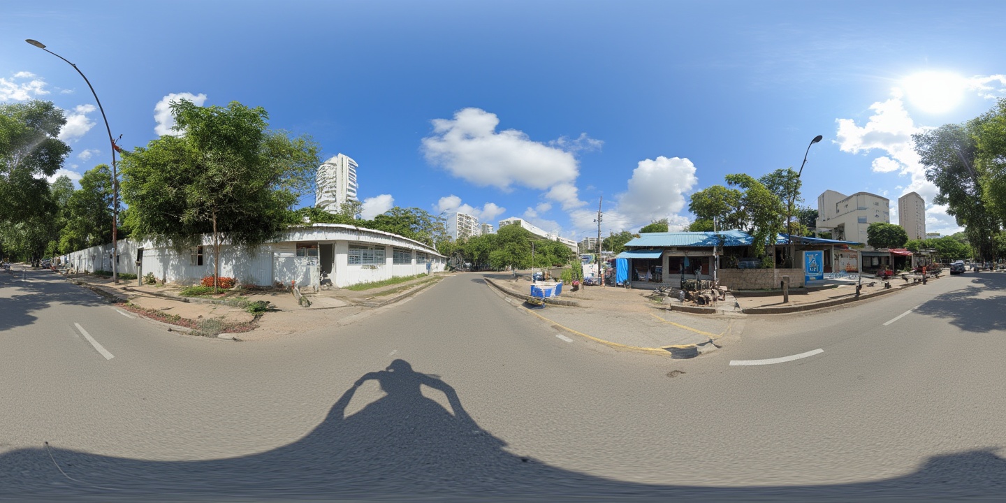
Orisynth generates 360° ground-level panoramas for any coordinate on Earth — including everywhere the camera cars never reached.

Any Coordinate on Earth
360° Immersive Panoramas
6 Continents Demonstrated
01

The Concept

Bridging the gap between orbital and street-level perspectives

Satellite Input
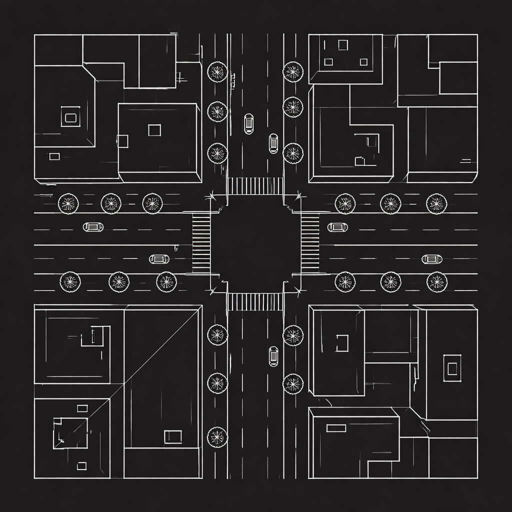
Satellite imagery input

High-resolution satellite imagery centered on target coordinates

Spatial Encoding
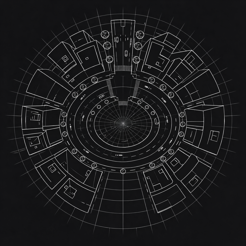
Spatial encoding visualization

Geometric transformation encodes directional context

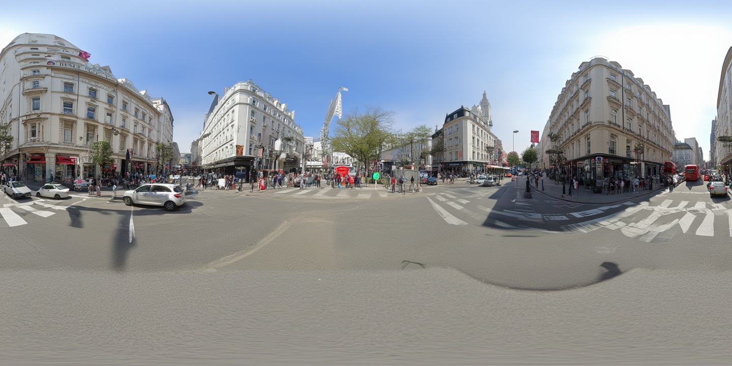
Street View Output
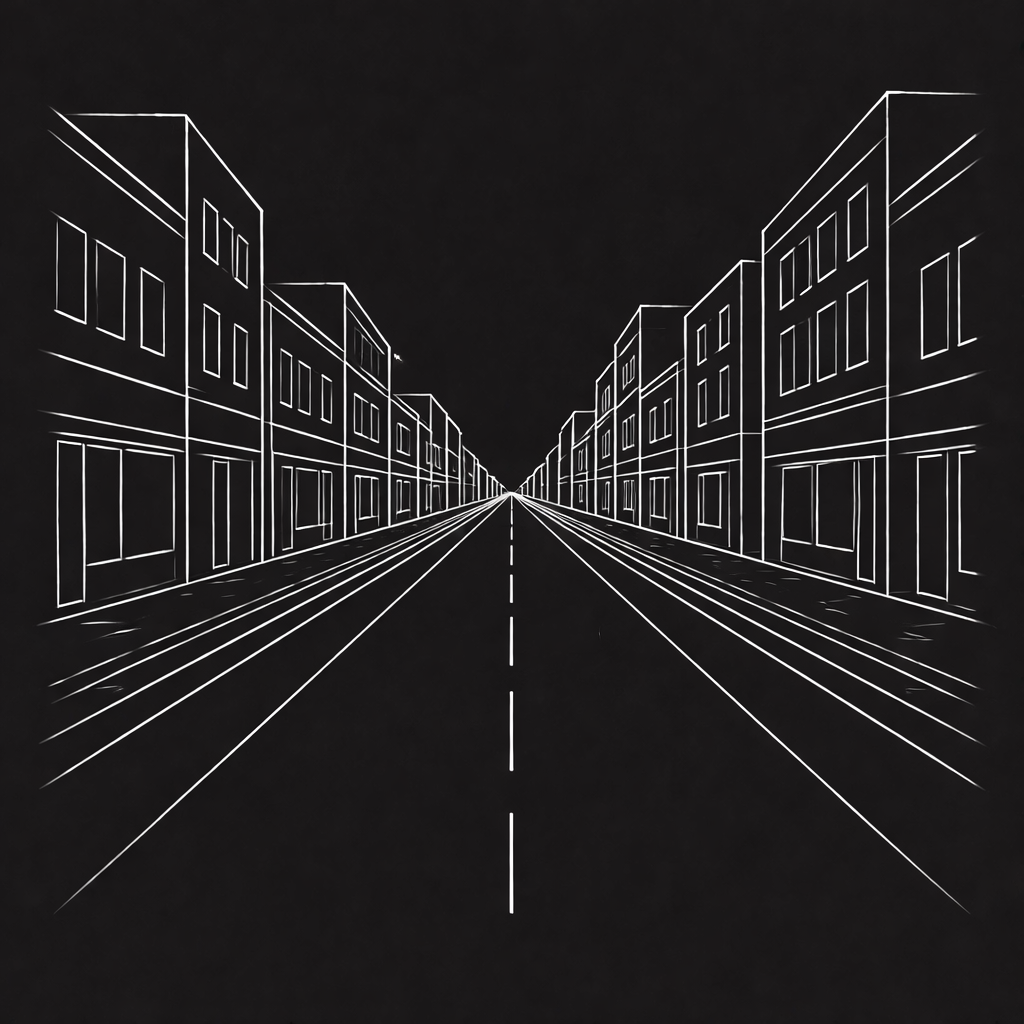
Generated street view

Photorealistic 360° panorama ready for immersive viewing

From Space to Street

Orisynth reconstructs what a location looks like at ground level, using only satellite imagery as input. By learning the relationship between satellite patterns and street-level appearances across thousands of locations worldwide, our model synthesizes realistic 360° panoramas for any coordinate on Earth.

🛰️
Satellite Imagery Satellite imagery as the only input
🧠
AI Synthesis Deep learning models trained on global data
📷
360° Output Equirectangular panoramas for immersive viewing
02

How It Works

A multi-stage pipeline from coordinates to panoramas

1
📍

Location Input

Select any coordinate on Earth. The system fetches high-resolution satellite imagery covering the surrounding area.

2
🔄

Geometric Encoding

The satellite view is transformed into a representation that encodes spatial relationships from the camera's perspective.

3
💬

Scene Understanding

AI analyzes the imagery to understand urban context, identifying roads, buildings, vegetation, and architectural style.

4

Panorama Generation

A generative model synthesizes a photorealistic 360° equirectangular panorama ready for immersive viewing.

04

Capabilities

What Orisynth can do

🌍

Global Coverage

Generate street-level views for any location on Earth where satellite imagery is available.

🔮

Photorealistic Output

Synthesize detailed, realistic imagery that captures architectural styles, vegetation, and urban character.

🥽

Immersive 360°

Full equirectangular panoramas ready for VR headsets, web viewers, or any immersive display platform.

Built For

Work that stops where the map does

Insurance and property assessment in regions with no street imagery. Telecommunications line-of-sight and site survey across uncovered terrain. Logistics approach and access context for unmapped delivery points. Ground-level scene data for autonomous systems. Planning and disaster response where the latest imagery is aerial or outdated.

Get in Touch

Tell us which locations matter to you and we will generate them.